Publications
 Partners


- African boundaries were shaped years later, rather than during the Berlin Conference.
- Rivers were used to map Africa because Europeans were particular about trade routes into the continent.
- Sixty-two percent of official African boundaries were influenced by historical political frontiers.
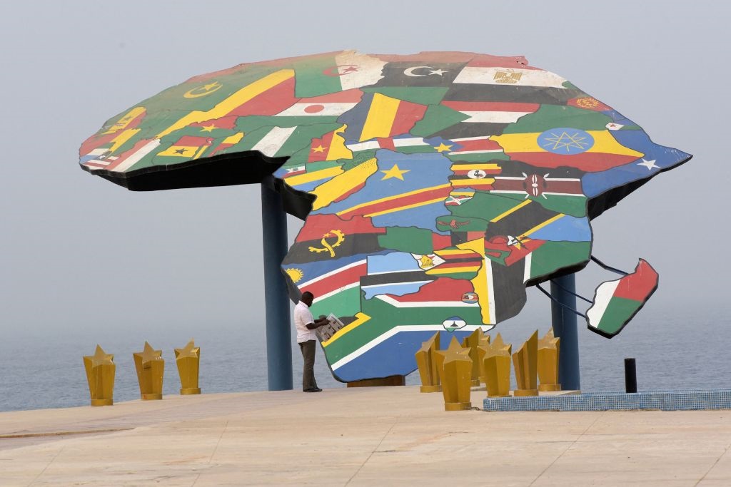
According to a new analysis, Africa's country borders were not arbitrarily drawn by colonial powers, but owe more to major rivers and precolonial states.
African national borders, and conflicts that arise from them, are often blamed on the Berlin Conference of 1884 to 1885. But a new paper in the Cambridge University Press argues that the majority of current borders are based on geography more than – if not to the exclusion of – the needs of colonial powers in the 19th century.
That includes boundaries between Zimbabwe and South Africa, between Zimbabwe and Zambia, as well as between South Africa and Namibia, to mention a few in the SADC region.
In the paper, academics Jack Paine, Xiaoyan Qiu and Joan Ricart-Huguet argue that the key period for border formation in Africa was between 1891 and 1908, thereby exposing "the relative insignificance" of the earlier Berlin Conference.
The scholars said the reason for the late boundary formations was that "Europeans learned about and adjusted to realities on the ground".
"Their self-interested motives to defend and extend territorial claims required local knowledge. Precolonial states and water bodies were pivotal in this process," they say, in the paper titled 'Endogenous Colonial Borders: Precolonial States and Geography in the Partition of Africa'.
READ | UK plan to deport asylum seekers to Rwanda suffers first parliamentary defeat in House of Lords
Rivers played a central role.
"Europeans were also intensely interested in major water bodies and their derivatives to facilitate trade. Multiple powers routinely competed for influence over particular rivers and lakes, which were focal for settling borders," the reports says.
Numerous countries, such as Botswana, Namibia, Zambia, Angola, Egypt, Libya, Senegal, Sudan and Chad, have straight-line sections to their borders, because these were "expedient only in areas that lacked discernible local features, often low-population-density areas such as deserts".
The scholars employed statistical analysis, using square grid cells.
Through this process, they argue that "border segments are more likely in cells with rivers, lakes and the frontiers of precolonial states, but less likely in cells contained entirely within precolonial states".
A second analysis used all 107 bilateral borders in Africa.
"In addition to providing general historical background on each border, we code three specific variables: primary and secondary physical features of the border, years of major border revisions, and whether a historical political frontier, usually a precolonial African state, but sometimes other frontiers such as white settlements, directly affected the border," the report explains.
READ | Zimbabwe needs help with in R160bn debt. The US isn't interested until it cleans up its act
The paper argues that historical political frontiers directly influenced 62% of all bilateral borders, 66 out of 107, while precolonial African states had a direct impact on 47 different bilateral borders.
These findings contradict a typical view that underestimate the relevance of historical political barriers in shaping African borders.
"Our findings reject both strong and weak versions of claims that Africa's borders are, generally, arbitrarily located.
"The strong version of this claim is that local features are systematically uncorrelated with the location of African borders," the authors say.
The News24 Africa Desk is supported by the Hanns Seidel Foundation. The stories produced through the Africa Desk and the opinions and statements that may be contained herein do not reflect those of the Hanns Seidel Foundation.